
We align cities, mapping and spatial data on the same grid – delivering strategic, technical and integrated solutions for your projects.
Grid Project provides Urban Planning, Urban Design, Mapping, Geographic Information Systems (GIS) and technical consultancy services.
Çalışma Konularımız
-
Planning & Urban Design
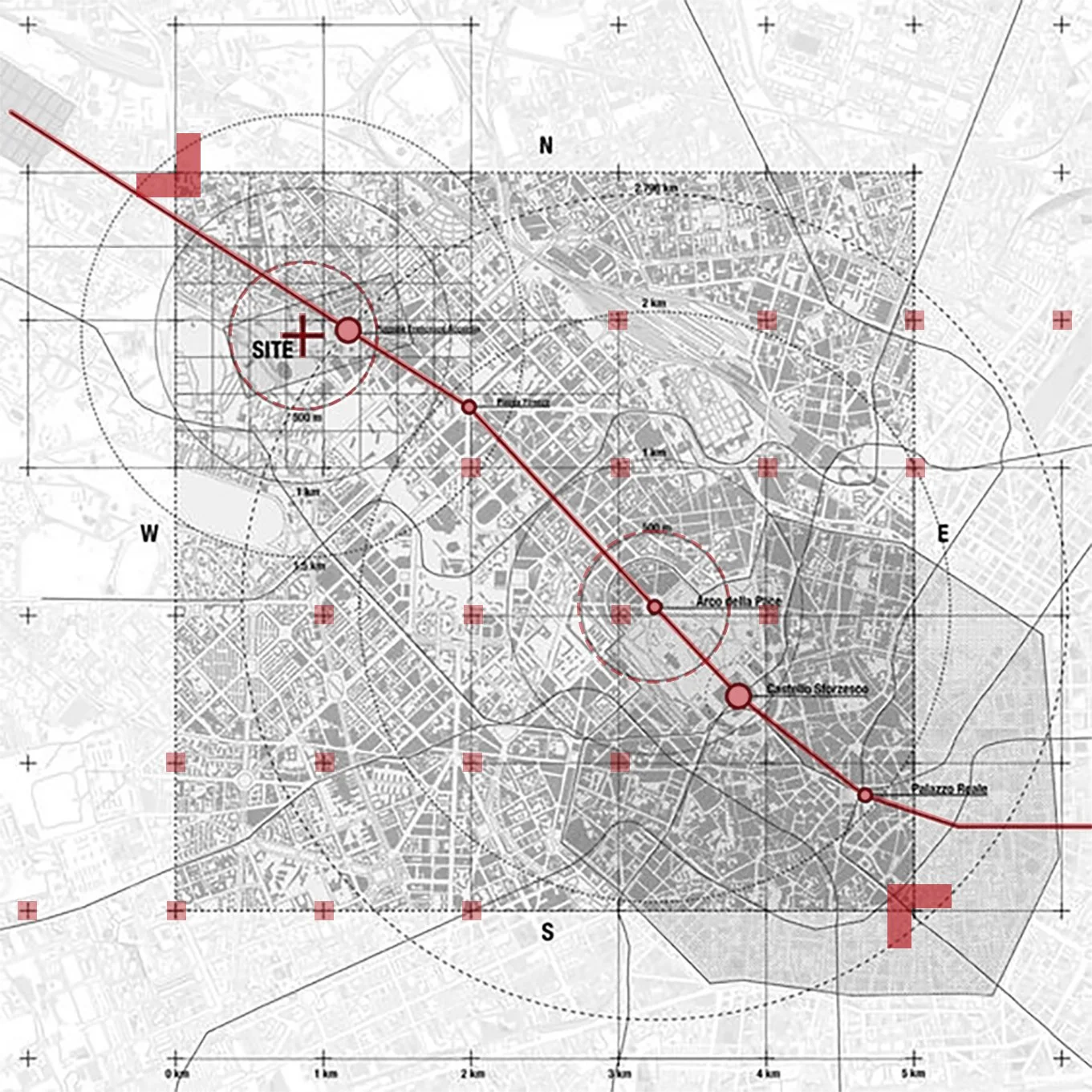
We prepare regional land-use plans, master and implementation development plans, and urban design projects.
For renewable energy sites, industrial and logistics zones, housing areas and corporate investments, we assess site suitability, land ownership structure and environmental constraints together. We follow institutional opinions, access and transportation decisions and the plan approval process end-to-end, and deliver zoning plans that are compliant with regulations and feasible on the ground. -
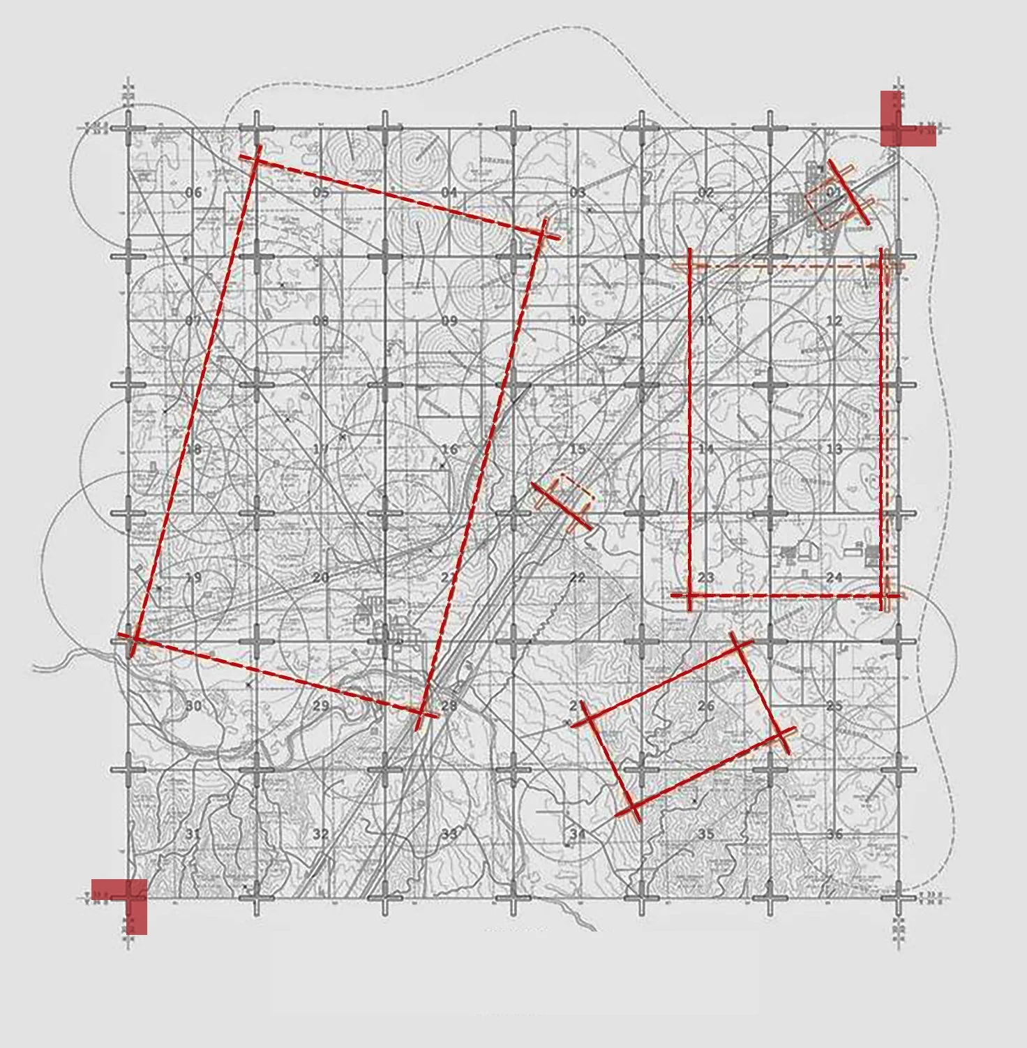
Surveying & Mapping Engineering
We produce high-accuracy base maps, photogrammetric products and engineering mapping layers for investment, transport, energy and industrial projects.
For development plan implementation, expropriation and route studies, we generate all required map data in line with national standards. We manage every step of the process from cadastral checks to approval files in a single workflow that is complete and transparent. -
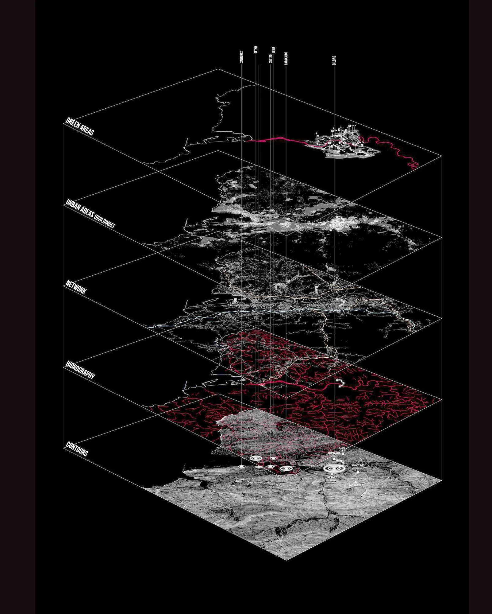
Geographic Information Systems (GIS) & Spatial Analysis
We manage and analyse spatial data through GIS infrastructures and decision-support interfaces.
By conducting suitability and constraint analyses, land ownership studies, accessibility and risk assessments, we make the current situation and potential of project areas visible. This helps public authorities and private investors take planning decisions, manage permit and licensing procedures, and run site operations faster, traceably and with solid technical backing.
Grid Proje provides urban planning, mapping and GIS services for renewable energy and industrial investments, large-scale housing and mixed-use developments, and public sector and municipal projects. We design and manage all processes that require site selection, zoning, institutional approvals and spatial analysis in a data-driven, regulation-compliant and practically applicable way.